Bring on the Snow!
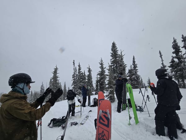
Happy holidays everyone! After a few weeks of asking for some good, colder storms it looks like we're finally getting it. This week we skied a few different spots all over the Coquihalla and Manning Park zones and found conditions becoming more and more wintery with improving coverage below treeline and some good skiing higher up. But, with the thickening snowpack and stormy weather, avalanche problems are a serious concerns.
What We Saw This Week
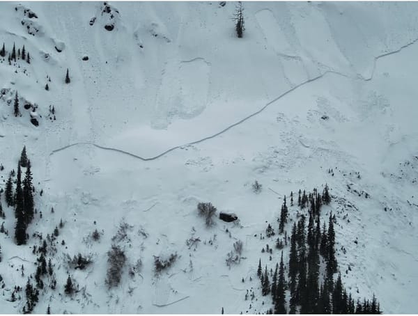
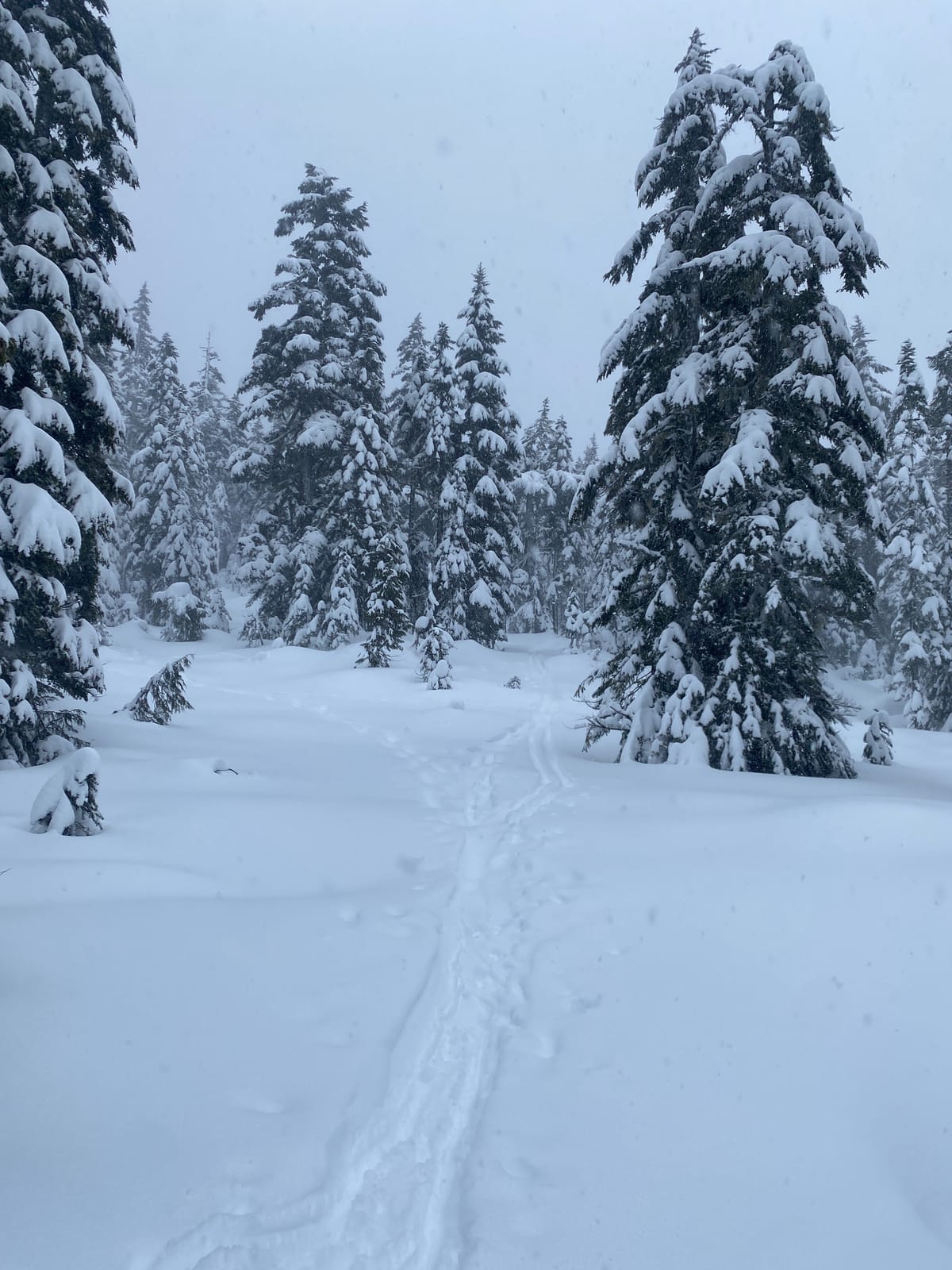
Last weekend and early this week, we found a widespread crust across the mountain. Below treeline, this crust was the surface of the snow, which made for some pretty heinous survival skiing down low. Above around 1500m, this crust was buried under 10-20cms of new and transported snow. The crust itself was thick and sat atop a layer of buried facets, producing some resistant planar results when we did a few pit tests.
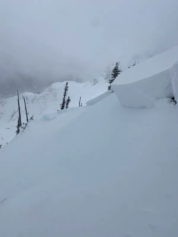
Touring around Burnt Knoll and Three Brothers Mountain on Christmas Eve we found some reactive windslabs on steep north and northeasterly features near ridge tops. Skiing below treeline was still sporty, but coverage was markedly improved from the past few weeks.
Similar wind slabs were found this week by groups on many peaks in the Coquihalls and were believed to be behind a size 1 skier accidental avalanche on Needle Peak. Avalanche Canada also reported a rider triggered size 2 on a "north-facing slopes off the Nak-Thar col on Wednesday". These reactive windslabs are still very present, especially on North and East facing slopes, and as of Thursday afternoon, they are being buried under new storm snow.
Looking Ahead
A pulse of stormy weather is headed our way over the weekend, with some more precipitation forecast later in the week. If we're lucky,freezing levels will stay low and bring some more coverage to our lower mountains. While this will definitely help with below treeline approaches, it will also likely push road access points in the Chilliwack River Valley a little lower.
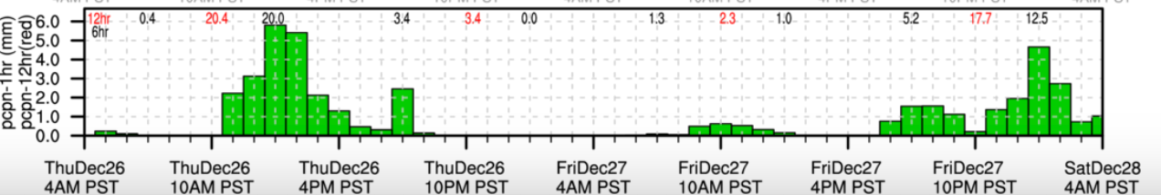
Top of our mind is the reactive wind slabs that we've seen and been hearing about this past week. Add new snow and more wind on top this, and we're expecting elevated avalanche hazard over the coming days. We'll be dialling things back a bit and looking for fun storm skiing on low angle, protected slopes on Saturday, and then investigating the new snow, lurking slab and how it's bonding before stepping out onto anything, especially if the weather improves on Sunday.
With the new year on the horizon, we're also starting to think about big trips in the spring. And, to get stoked on the season, we're bringing Patagonia's newest snow film – Papsura: Peak of Evil – to the Mountain Town Series on January 23rd. All proceeds from the event will go to Avalanche Canada. And, don't miss out on your chance to join our upcoming Mountain Town Workshop on Map & Compass navigation on January 9th.