Good News/Bad News
This week, our big question was the impact of last weekend's wet storm. The answer was some good news, some bad news. The good news is that freezing levels dropped late on Saturday across the region and that a good amount of the storm still came in an as snow. The bad news was that before that happened, a lot of rain fell. While this consolidated the snowpack, it also reduced our overall coverage levels, especially at lower elevations.
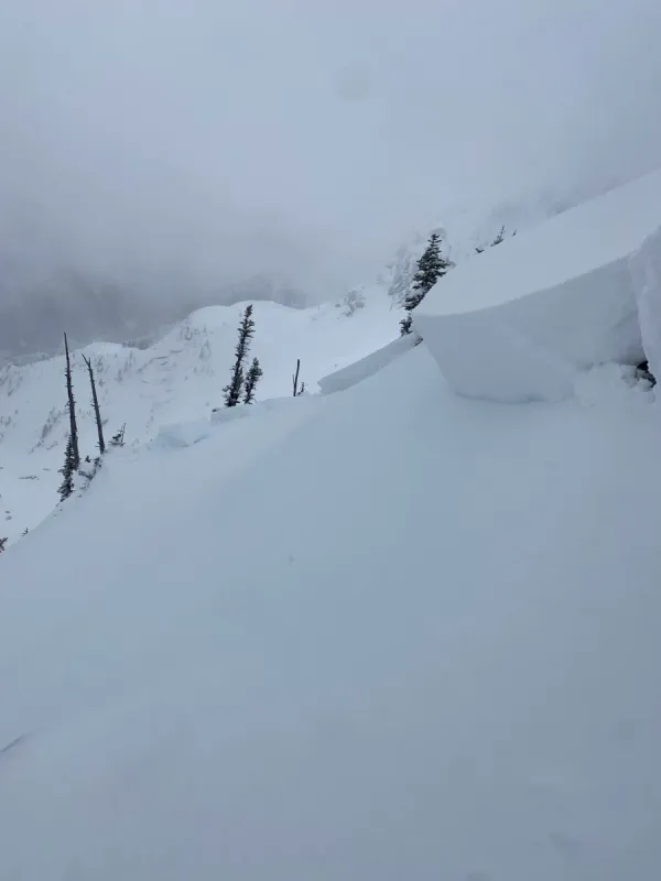
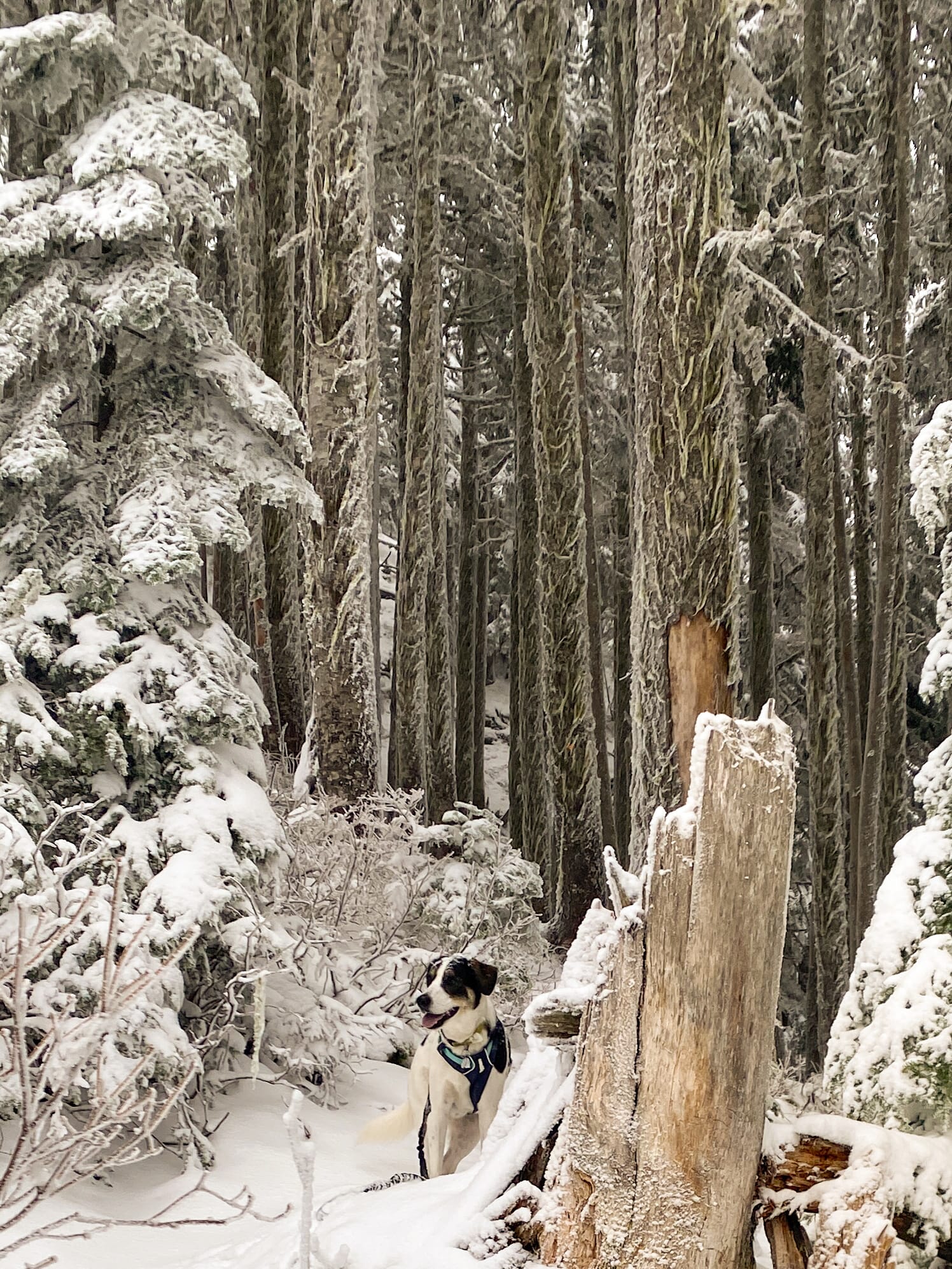
The rain also created a widespread crust, thinner in the alpine and thicker at and below treeline. At higher elevations on the Coquihalla Summit and in the Chilliwack River Valley, we found up to 40cms on top of this crust which made for some pretty decent skiing. There was some wind effect on exposed and ridge features, so terrain choice was important.
Unfortunately, the rain really hammered things at lower elevations. Uphill travel in any treed or covered areas was challenging with minimal coverage and a thick crust on all aspects. Exiting these zones required navigating thick stands of alder and survival skiing. More than once we took off our skis and walked to avoid some nasty deadfall.
Solar aspects were softening and warming on Wednesday afternoon. Surface snow in shaded areas and polar aspects remained cold and faceted.
Looking Ahead
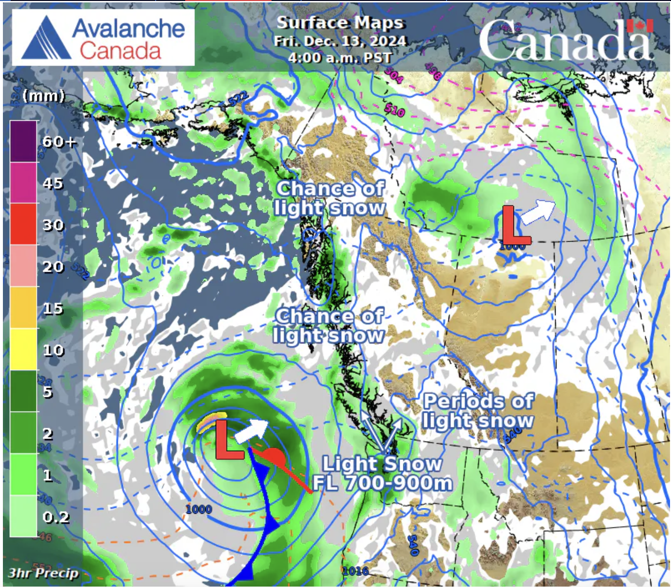
More weather is inbound this weekend, with precipitation starting to arrive by late Thursday. Freezing levels are forecast in the 1000-1500m range with precipitation and wind increasing through Saturday.
Snow totals are expected to be 10-40cm depending on exactly how the weather tracks.
What We're Thinking About
We expect the the avalanche hazard to rise with this new snow, which Avalanche Canada is also predicting. We're particularly interested in the interface between last weekend's rain crust, the snow that fell on top of that, and this new snow. In areas where the snow from last week's storm is still cold and faceted and sits on top of a rain crust we have the potential for new snow to to form slab avalanche problems on top. Before we commit to any slopes, we'll be investigating these layers.
We're also thinking a lot about the wind this weekend. High winds in a storm will make for nasty travel conditions, especially in the alpine where the best snow conditions currently lie. The challenge for this weekend then will be finding sheltered and protected areas for travel and skiing, especially with coverage in the trees being marginal in many areas. The wind is also likely to move a lot of snow around, so we'll be looking for wind loading on the lee slopes when we venture out after this storm.
And, while I feel a bit of a broken record on this, we're also still very much thinking about early season conditions. Below 1500m the snow totals are still too low to cover a lot of logs, rocks and alder, so we're taking that into account in all our trip plans. Regional differences are also on our mind, with snow totals in the Manning Park area still a fair bit lower than on the Coquihalla.
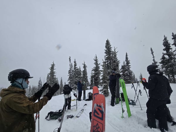
With more snow in the forecast, it is a great time of year to learn and practice your avalanche and rescue skills. We have AST courses kicking off this weekend and more on the calendar, including refresher and rescue practice course next week! Check them all out here. We're also running a workshop in January on map and compass navigation. While most of use a GPS these days, knowing how to read and use these tools are amazing for trip planning, and they're critical skills for navigation and rescue when things go wrong with our digital devices. Tickets are $10 and proceeds go to Chilliwack SAR.