Melt, Freeze & Wind
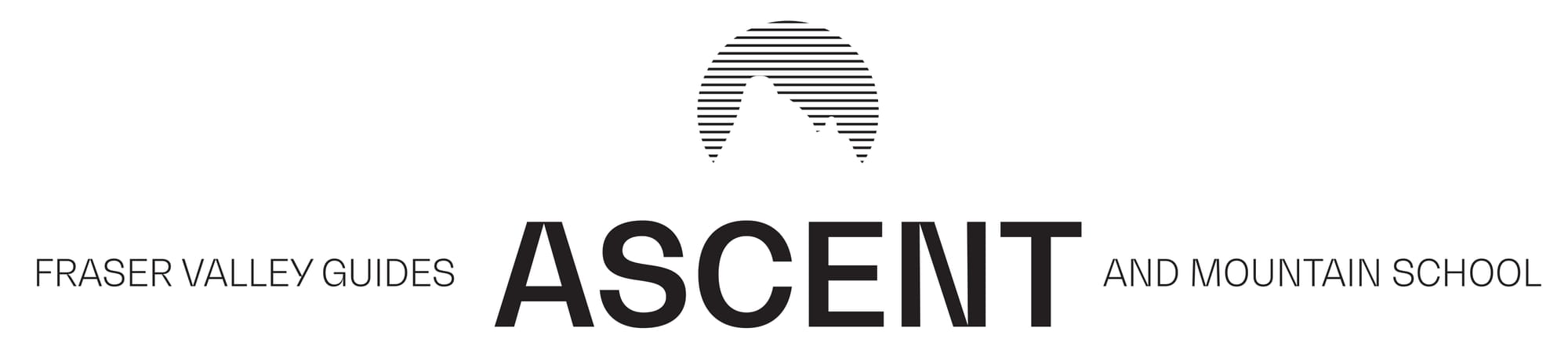
The last week brought on drier start to January with stable weather, minimal precipitation and some beautiful bluebird days.
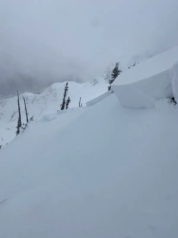
Conditions through last weekend and early this week were quite good. Some fresh snow was redistributed moderate to strong winds, particularly onto northerly slopes at alpine and treeline. On supported and low angle slopes, this snow skied quite well through the weekend and early Monday.
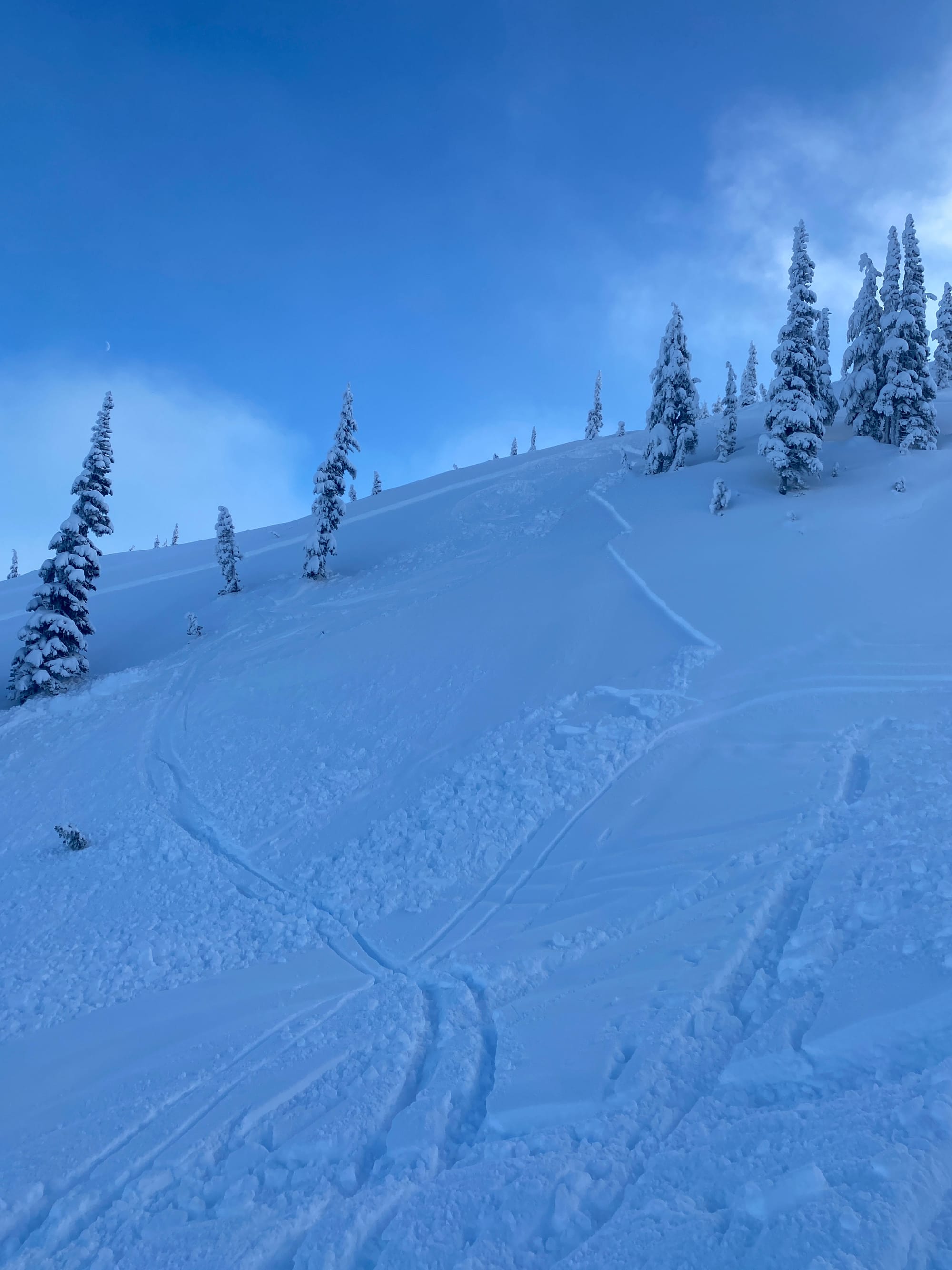
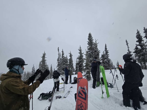
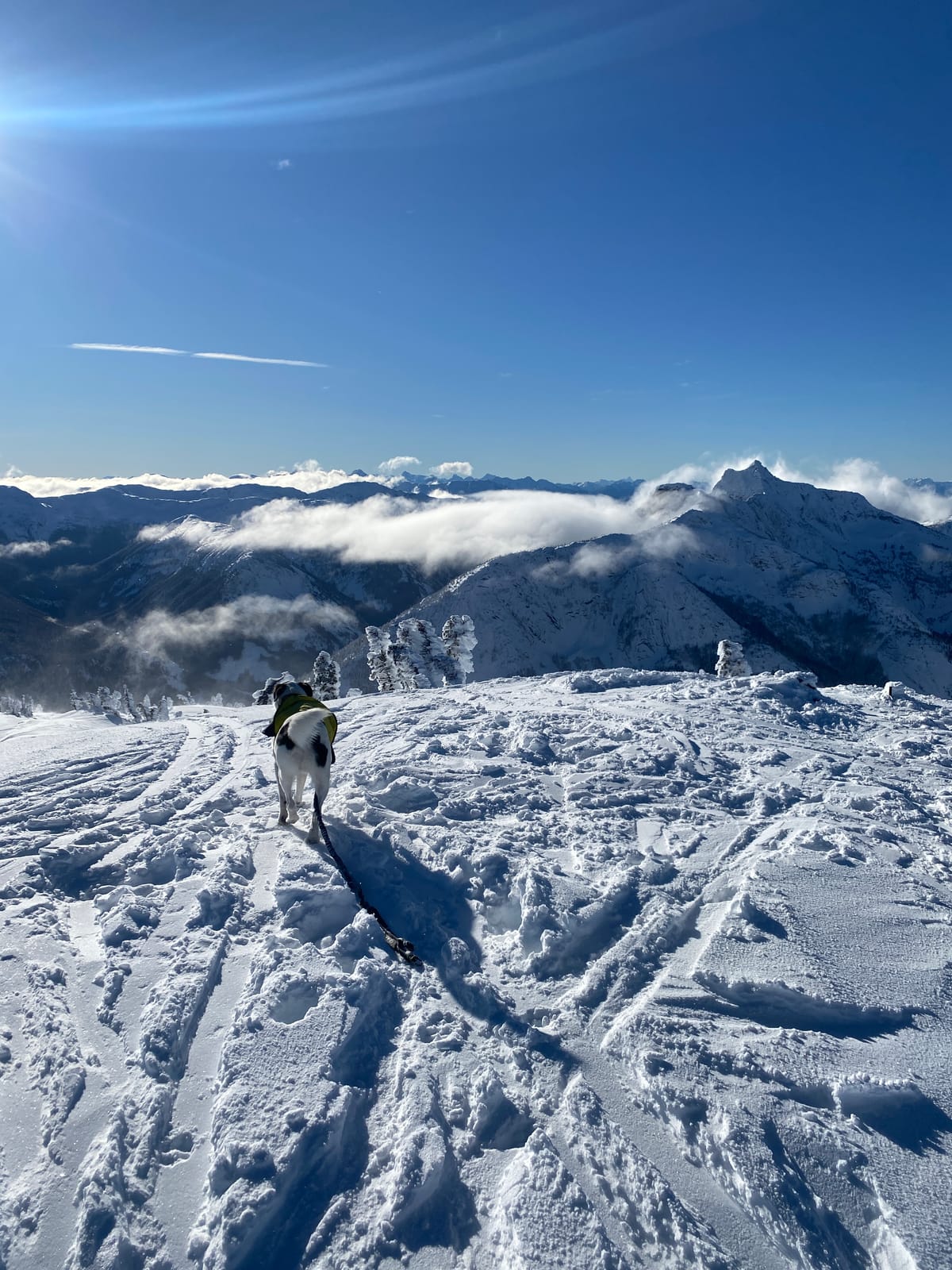
On steeper and more exposed terrain though, the wind formed reactive slabs in the upper snowpack. Several avalanches were reported over the weekend and we saw evidence of size 1 windslab releases on north and northeasterly lee features during our AST-1 course on Zoa Ridge on Sunday. Terrain shape really mattered in our observations. In compression and hand sheer tests, the slab problem released with sudden planar characteristics on steep features but was resistant to movement on lower angle tests.
On Monday conditions were beautiful bluebird, but when the sun came out we saw widespread solar affect on the upper snowpack. With this sun and freezing levels above 2000m multiple times this week, a melt-freeze crust can now be found on most slopes save for protected, shaded northerly aspects.
Looking Ahead
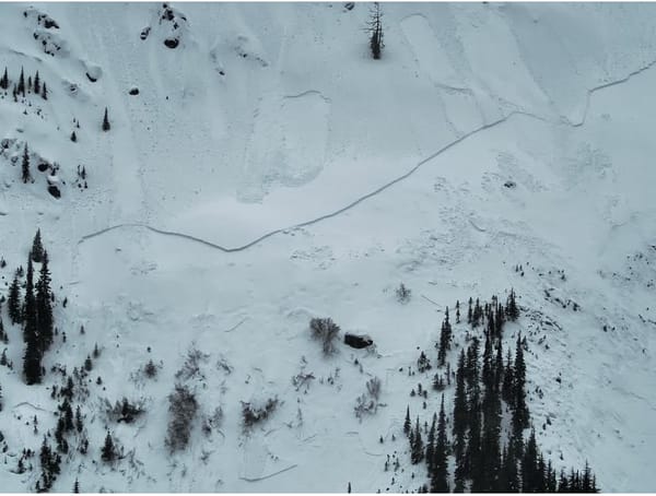
With freezing levels above 3000m again today, the melt-freeze crust will continue to develop in our mountains. There has also been loose wet avalanche activity and wet snow falling from trees. With overnight refreezing, this can make for challenging travel, especially at lower elevations.
A pulse of stormy weather is expected to hit the North Cascades tomorrow bringing some fresh snow and strong winds ahead of an extended period of high pressure. Where the crust exists, the new snow could create a reactive wind slab problem. At higher elevations that avoided the melt freeze cycle, it will be important to evaluate slopes for the presence of thicker slabs.
What We're Thinking About
Looking ahead, the long term forecast looks like we're in for period of relatively stable weather. With some nice days on the horizon it will be a great time to get out into the mountains, and potentially to start looking at bigger objectives.
With that being said, we're still thinking about a few important things.
Although December was wet, many storms still came in with a higher freezing level and lower elevations still present challenges. Thick forests continue to have thin ground coverage and areas of alder stands below 1500m remain uncovered. Lower elevation starts are possible, but look for logging roads and established trails to help with travel. Crusts, glide cracks and refrozen wet avalanche debris may add to travel difficulties lower down. Skiing out through these areas is also challenging, so plan accordingly.
It's important to remember that Moderate and Low avalanche hazard forecasts don't mean no avalanche hazard. At higher elevations, windslabs are still a lurking issue. If the snow avoided the recent warming cycle, be sure to assess slopes carefully, particularly before committing to anything step, convex or above terrain traps. Wet snow avalanches will be an issue anytime that temperature or sun moisten the upper snowpack. Prolonged periods of warmth or sun will increase that hazard further.
If you're looking for some mid-winter stoke, we're hosting a film screening of Patagonia's newest film Papsura on January 23rd. We'll be raising funds for Avalanche Canada and have a "state of the snowpack" update for our local mountains. If you're looking for touring partners, there will be a chance to meet folks at this event.
Other upcoming events & courses:
- Avalanche Courses - Happening Weekly
- Winter Camping & Ski Traverse Planning Workshop - February 6
- Snow Shelters & Winter Camping Overnight Course - February 22-23
- Intro to Backcountry First Aid Workshop - March 6
P.S. Just a bit of shameless self promotion, if you like getting weekly newsletters, particularly ones about outdoor adventure, I recently launched a Substack. The first post, about trail running from Chilliwack Lake to Cultus Lake, is up here. I'd love if you took a look and subscribed.