Lingering Layers/Arctic Outflow
Brrrr! This past week of skiing has been some of coldest we've experienced in recent years in southwestern BC, but with the cold temps we've found some great snow. Let's get into it.
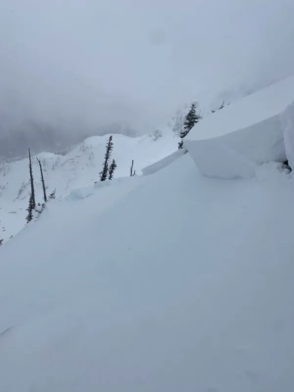
This past week we've spent most of our ski time up on the Coquihalla Summit. Shaded and sheltered terrain is holding onto nice fluffy snow. On solar aspects, we did find some thin areas of sun crust forming at lower elevations. In Manning Park on the weekend, we found 30-40 cm of wind transported snow atop a robust crust, with drifts getting deeper at higher elevations. We also spent a bit of time up in the Cheam Range late last week and near Chilliwack Lake this week. Snow totals above treeline are higher than in the Coquihalla and while we do have some snow now at road level, coverage is still very thin down low. This means challenging access driving up logging roads and that trails like Flora Peak probably will still require some walking to get to skinnable snow.
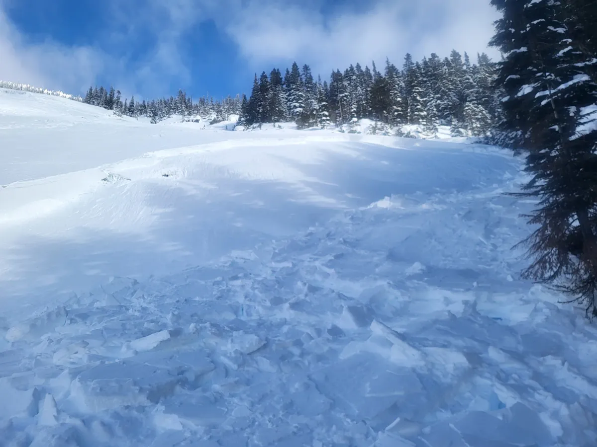
This week also saw some lurking layers and spooky snow sticking around. We found evidence of both persistent slab and windslab problems in different areas. For the most part, these were reactive in specific, steep features.
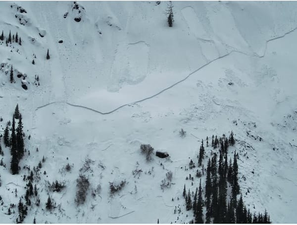
In the Zoa area, we were able to produce column test results on a deeper facet layer around 90cm's down. Avalanche Canada also lists this layer in their forecast, and results were difficult to trigger and resistant in nature. Our sense is that this layer is bonding out, but still remains a bit of a low probability/high consequence problem in specific terrain. Skiers reported experiencing whoomphs and settlement in the Zoa and Thar basins over the weekend. On Monday, a 60m wide avalanche near treeline was report on Zupjok along with widespread wind effect on the Alpaca/Llama ridge.
Looking Ahead
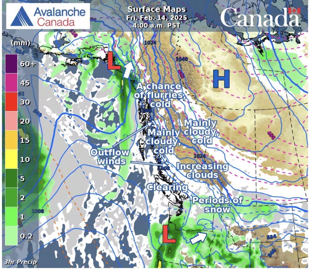
It appears that the high pressure, arctic ridge we've been experience is breaking down and we're headed towards more "normal" weather for the South Coast. We're hoping for a bit of snow this weekend and more on the way next week.
In terms of avalanche hazard, wind is our biggest concern. While the forecast overall is trending towards a more stable snowpack, we still have some lurking issues. Wind slabs could be found anywhere that the snow shows signs of wind effect, and will be particularly trigger-able in steep, unsupported and convex terrain. If this upper slab is triggered, it could also step down into deeper weak laters, creating larger, more dangerous slides.
We'll be looking for the best skiing on protected, shaded slopes where the snow doesn't show any signs of wind loading. As always, we'll be evaluating the snowpack carefully before committing to any bigger or more consequential terrain. And, if the coming weather delivers more snow than expected, we'll be adding storm slabs to our list of avalanche problems.
Upcoming Events
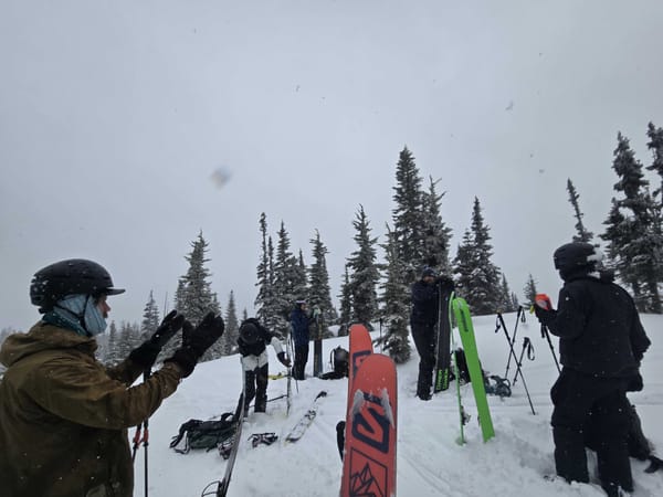
This weekend is our final scheduled AST-1 course of the season. If you or your friends are looking for training, don't miss out on your chance to dial your skills in our backyard! We may organize courses in March if there's interest.
We also have an amazing Winter Camping & Snow Shelter course coming up on February 22-23. This course is a great chance to build your skills for overnights and ski traverses ahead of the spring when we're looking at bigger missions and bigger mountains.